
Porthmeor
★★★★★SmallBest of the week: Monday around 08:00, 5–7 ft and offshore.
Seven days
best session each day · swipe| Sat 14 | Sun 15 | Mon 16 | Tue 17 | Wed 18 | Thu 19 | |||||||||||||||||||||||||
|---|---|---|---|---|---|---|---|---|---|---|---|---|---|---|---|---|---|---|---|---|---|---|---|---|---|---|---|---|---|---|
| Time | 06 | 09 | 12 | 15 | 18 | 06 | 09 | 12 | 15 | 18 | 06 | 09 | 12 | 15 | 18 | 06 | 09 | 12 | 15 | 18 | 06 | 09 | 12 | 15 | 18 | 06 | 09 | 12 | 15 | 18 |
| Surf ft | 1–2 | 1–2 | 1–2 | 1–2 | 1–2 | 1–2 | 1–2 | 1–2 | 3–4 | 6–8 | 5–8 | 5–7 | 4–6 | 3–5 | 2–3 | 4–6 | 5–7 | 7–10 | 8–10 | 7–10 | 8–11 | 8–11 | 8–11 | 9–12 | 10–14 | 12–16 | 11–15 | 10–14 | 9–12 | 8–11 |
| Swell | 12s | 11s | 11s | 11s | 10s | 4s | 7s | 7s | 4s | 5s | 8s | 8s | 8s | 8s | 4s | 7s | 7s | 7s | 7s | 9s | 10s | 10s | 10s | 10s | 11s | 12s | 11s | 11s | 10s | 10s |
| Wind mph | 5 | 7 | 12 | 11 | 8 | 5 | 5 | 7 | 20 | 19 | 3 | 5 | 15 | 19 | 16 | 22 | 22 | 21 | 20 | 18 | 6 | 3 | 4 | 3 | 6 | 11 | 18 | 16 | 18 | 18 |
| Tide m | 4.9↑ | 4.3↓ | 2.1↓ | 2.2↑ | 4.4↑ | 4.3↑ | 4.5↓ | 2.7↓ | 2.1↑ | 3.8↑ | 3.7↑ | 4.4↓ | 3.2↓ | 2.2↓ | 3.2↑ | 3.1↑ | 4.2↑ | 3.6↓ | 2.4↓ | 2.7↑ | 2.7↑ | 3.9↑ | 4.0↓ | 2.8↓ | 2.3↑ | 2.3↑ | 3.4↑ | 4.3↓ | 3.3↓ | 2.1↓ |
| Rating | ★★★★★ | ★★★★★ | ★★★★★ | ★★★★★ | ★★★★★ | ★★★★★ | ★★★★★ | ★★★★★ | ★★★★★ | ★★★★★ | ★★★★★ | ★★★★★ | ★★★★★ | ★★★★★ | ★★★★★ | ★★★★★ | ★★★★★ | ★★★★★ | ★★★★★ | ★★★★★ | ★★★★★ | ★★★★★ | ★★★★★ | ★★★★★ | ★★★★★ | ★★★★★ | ★★★★★ | ★★★★★ | ★★★★★ | ★★★★★ |
Surf is the face height at the beach after the swell is filtered for the way Porthmeor faces. Arrows point to where the swell and wind come from: an arrow pointing up means from the north. Tide is the height at Cape Cornwall above chart datum, rising ↑ or falling ↓; the rating drops when the tide is outside the window this break works on. Amber marks the sessions worth setting an alarm for. From Tuesday the swell comes from Météo-France's 10-day model, which is coarser than the 5 km German model used close in. Hours no model reaches are left blank, not shown as flat.
Exposure
Porthmeor faces north-west. Measured from the seabed, it is open to swell from W round to N; the brighter a wedge, the deeper the water in that direction and the more of the swell gets in. Anything from behind the headlands scores nothing, however big the buoy says it is.
- SW
- 0.7 m at 11 s (swell) · 76 % reaches the beach
- SE
- 0.1 m at 1 s (wind sea) · blocked, 0 %
How Porthmeor works
- Swell
- Best from the south west.
- Wind
- Offshore is from the south; anything with north-west in it is onshore and messes it up.
- Tide
- high tide.
- Getting there
- Just south of St Ives with a Car Park in front.
Beach breach just north of St Ives, Pretty Consistent, but doesn't pick up swell.
Tide times
- Sat 01:08Low1.6 m
- Sat 06:55High5.1 m
- Sat 13:32Low1.7 m
- Sat 19:13High4.7 m
- Sun 01:42Low1.9 m
- Sun 07:34High4.8 m
- Sun 14:12Low1.9 m
- Sun 19:55High4.4 m
Cape Cornwall station, 8 km away. Heights above chart datum, UK time.
Photos
In the gallery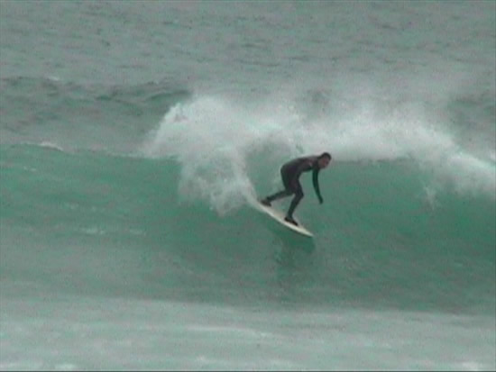
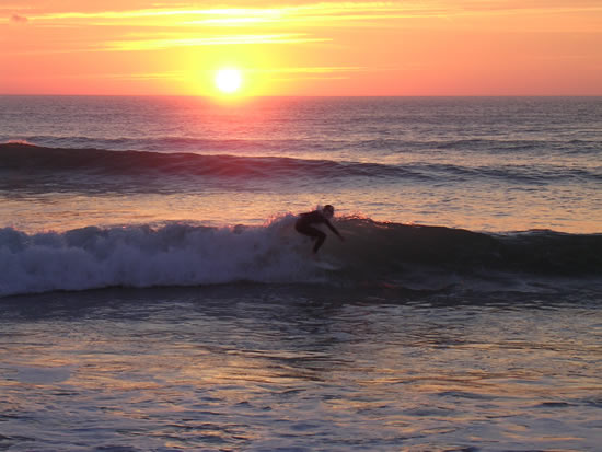
Members' own photos of Porthmeor. Credits: Jen Lawry.
Comments
Nearby
-
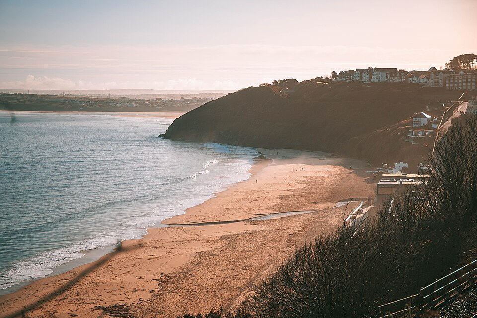 Carbis Baycarbis bay · faces N
-
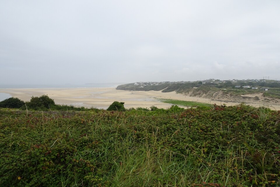 Hayle RivermouthHayle · faces N
-
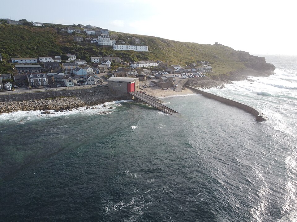 Sennen CoveSennen · faces NW
- PerranuthnoeMarazion · faces S
- GwenvorSennen Cove · faces NW
-
 GwithianSt Ives · faces NW