
Sango Bay
★★★★★FlatBest of the week: Thursday around 09:00, 6–8 ft and offshore.
Seven days
best session each day · swipe| Sat 14 | Sun 15 | Mon 16 | Tue 17 | Wed 18 | Thu 19 | |||||||||||||||||||||||||
|---|---|---|---|---|---|---|---|---|---|---|---|---|---|---|---|---|---|---|---|---|---|---|---|---|---|---|---|---|---|---|
| Time | 06 | 09 | 12 | 15 | 18 | 06 | 09 | 12 | 15 | 18 | 06 | 09 | 12 | 15 | 18 | 06 | 09 | 12 | 15 | 18 | 06 | 09 | 12 | 15 | 18 | 06 | 09 | 12 | 15 | 18 |
| Surf ft | 0 | 0 | 0 | 0 | 0–1 | 6–8 | 6–8 | 5–7 | 5–6 | 4–6 | 2–4 | 3–5 | 4–5 | 4–6 | 4–6 | 3–5 | 3–4 | 3–4 | 2–4 | 2–4 | 3–4 | 3–5 | 4–6 | 5–7 | 5–8 | 6–9 | 6–8 | 5–8 | 5–7 | 5–7 |
| Swell | 9s | 9s | 9s | 9s | 9s | 12s | 12s | 12s | 12s | 11s | 10s | 10s | 9s | 9s | 9s | 8s | 8s | 7s | 7s | 7s | 7s | 8s | 8s | 9s | 9s | 10s | 10s | 9s | 9s | 9s |
| Wind mph | 11 | 14 | 18 | 9 | 7 | 16 | 12 | 14 | 8 | 1 | 15 | 16 | 14 | 11 | 8 | 9 | 9 | 10 | 9 | 7 | 14 | 12 | 10 | 10 | 9 | 2 | 3 | 5 | 5 | 5 |
| Tide m | 2.3↑ | 3.9↑ | 3.5↓ | 1.8↓ | 1.7↑ | 2.2↑ | 3.5↑ | 3.6↓ | 2.2↓ | 1.6↑ | 2.2↑ | 3.1↑ | 3.6↓ | 2.7↓ | 1.8↓ | 2.4↓ | 2.8↑ | 3.5↑ | 3.1↓ | 2.0↓ | 2.5↓ | 2.4↑ | 3.3↑ | 3.4↓ | 2.3↓ | 2.8↓ | 2.2↓ | 2.9↑ | 3.6↓ | 2.7↓ |
| Rating | ★★★★★ | ★★★★★ | ★★★★★ | ★★★★★ | ★★★★★ | ★★★★★ | ★★★★★ | ★★★★★ | ★★★★★ | ★★★★★ | ★★★★★ | ★★★★★ | ★★★★★ | ★★★★★ | ★★★★★ | ★★★★★ | ★★★★★ | ★★★★★ | ★★★★★ | ★★★★★ | ★★★★★ | ★★★★★ | ★★★★★ | ★★★★★ | ★★★★★ | ★★★★★ | ★★★★★ | ★★★★★ | ★★★★★ | ★★★★★ |
Surf is the face height at the beach after the swell is filtered for the way Sango Bay faces. Arrows point to where the swell and wind come from: an arrow pointing up means from the north. Tide is the height at Kyle Of Durness above chart datum, rising ↑ or falling ↓; the rating drops when the tide is outside the window this break works on. Amber marks the sessions worth setting an alarm for. From Tuesday the swell comes from Météo-France's 10-day model, which is coarser than the 5 km German model used close in. Hours no model reaches are left blank, not shown as flat.
Exposure
Sango Bay faces north-east. Measured from the seabed, it is open to swell from N round to E; the brighter a wedge, the deeper the water in that direction and the more of the swell gets in. Anything from behind the headlands scores nothing, however big the buoy says it is.
- NW
- 1.4 m at 8 s (swell) · blocked, 0 %
- W
- 0.8 m at 3 s (wind sea) · blocked, 0 %
How Sango Bay works
- Swell
- Best from the north west.
- Wind
- Offshore is from the south west; anything with north-east in it is onshore and messes it up.
- Tide
- all tides.
- Getting there
- Head to durness on the A838 you'll drive straight through it and stop anyway!!..
Absolutely beautiful bay with ideal camping spot right at the break.. Picks up most swells and give good protection from all but northly winds.. well worth a drive.. check out the caves in the area also.. they sound great.. when we were there we didn't go.. to busy chasing swell.. wish we had...
Tide times
- Sat 04:02Low1.7 m
- Sat 09:58High4.0 m
- Sat 16:37Low1.4 m
- Sat 22:38High3.5 m
- Sun 04:41Low1.9 m
- Sun 10:39High3.8 m
- Sun 17:26Low1.6 m
- Sun 23:28High3.3 m
Kyle Of Durness station, 4 km away. Heights above chart datum, UK time.
Photos
In the gallery

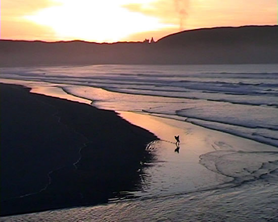
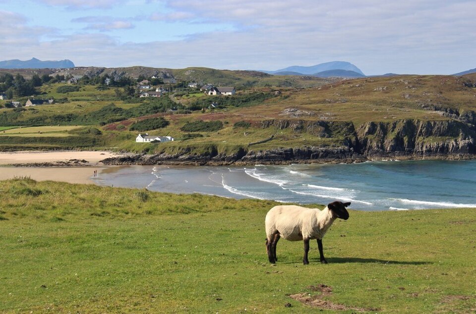
Eirian Evans, CC BY-SA 2.0, via Wikimedia Commons. Eirian Evans, CC BY-SA 2.0, via Wikimedia Commons.
Comments
Nearby
-
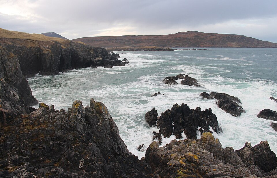 Balnakiel BayDurness · faces NW
-
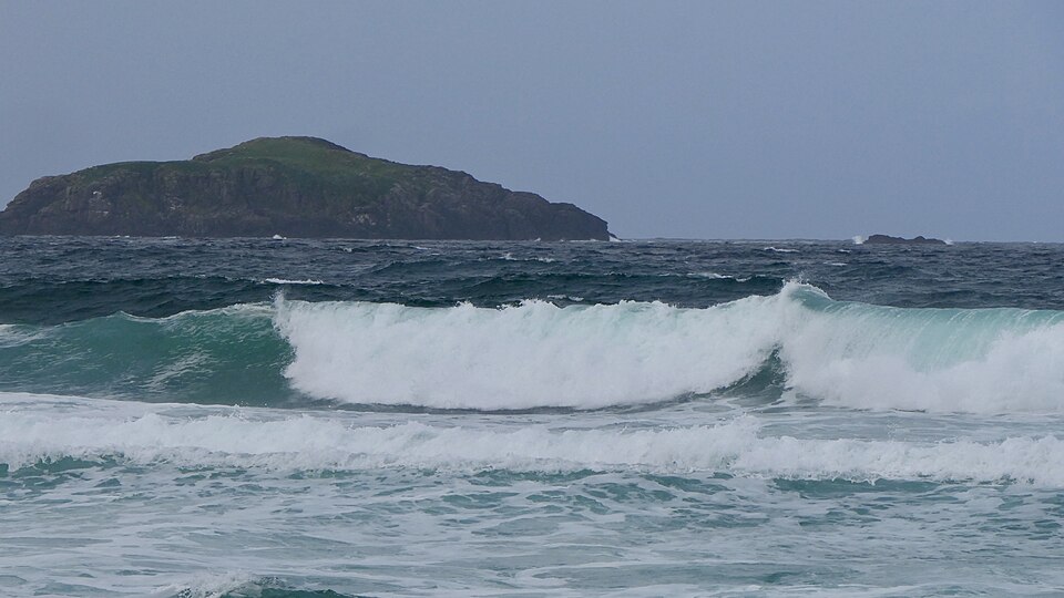 Sandwood BayThe Parph · faces NW
-
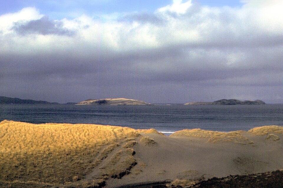 Kyle of Tonguethe Kyle of tounge · faces N
-
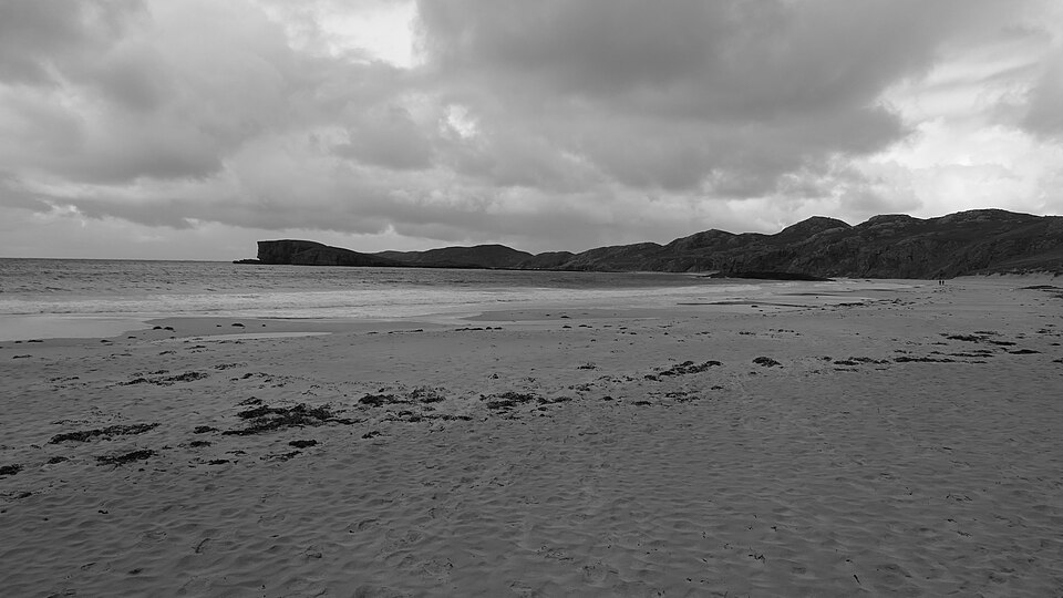 OldshoremoreCape wrath · faces SW
-
 TorresdaleBettyhill · faces N
-
 Farr BayBettyhill · faces N