
Balnakiel Bay
★★★★★FairBest of the week: Monday around 12:00, 6–8 ft and offshore.
Seven days
best session each day · swipe| Sat 24 | Sun 25 | Mon 26 | Tue 27 | Wed 28 | Thu 29 | Fri 30 | |||||||||||||||||||||||||
|---|---|---|---|---|---|---|---|---|---|---|---|---|---|---|---|---|---|---|---|---|---|---|---|---|---|---|---|---|---|---|---|
| Time | 18 | 06 | 09 | 12 | 15 | 18 | 06 | 09 | 12 | 15 | 18 | 06 | 09 | 12 | 15 | 18 | 06 | 09 | 12 | 15 | 18 | 06 | 09 | 12 | 15 | 18 | 06 | 09 | 12 | 15 | 18 |
| Surf ft | 0 | 4–6 | 3–4 | 24–32 | 29–38 | 24–32 | 9–12 | 7–10 | 6–8 | 5–7 | 4–6 | 1–2 | 0–1 | 0–1 | 1–2 | 1–2 | 6–8 | 6–9 | 6–8 | 5–7 | 3–5 | 3–4 | 3–4 | 3–4 | 3–4 | 1–2 | 0–1 | 0–1 | 0–1 | 0–1 | 0–1 |
| Swell | 8s | 7s | 9s | 11s | 12s | 12s | 10s | 9s | 9s | 9s | 9s | 6s | 5s | 5s | 6s | 8s | 7s | 10s | 9s | 6s | 8s | 7s | 6s | 6s | 6s | 7s | 8s | 8s | 9s | 9s | 9s |
| Wind mph | 13 | 18 | 25 | 39 | 36 | 35 | 14 | 7 | 8 | 12 | 18 | 21 | 30 | 38 | 34 | 33 | 22 | 18 | 17 | 22 | 20 | 19 | 15 | 10 | 12 | 14 | 12 | 11 | 10 | 8 | 5 |
| Tide m | 4.1↑ | 4.2↑ | 3.3↓ | 1.0↓ | 1.9↑ | 4.5↑ | 4.1↑ | 3.9↓ | 1.2↓ | 1.2↑ | 4.2↑ | 3.6↑ | 4.3↓ | 1.6↓ | 0.6↑ | 3.5↑ | 3.0↑ | 4.6↓ | 2.3↓ | 0.5↑ | 2.7↑ | 2.3↑ | 4.5↑ | 3.0↓ | 0.7↓ | 1.8↑ | – | – | – | – | – |
| Rating | ★★★★★ | ★★★★★ | ★★★★★ | ★★★★★ | ★★★★★ | ★★★★★ | ★★★★★ | ★★★★★ | ★★★★★ | ★★★★★ | ★★★★★ | ★★★★★ | ★★★★★ | ★★★★★ | ★★★★★ | ★★★★★ | ★★★★★ | ★★★★★ | ★★★★★ | ★★★★★ | ★★★★★ | ★★★★★ | ★★★★★ | ★★★★★ | ★★★★★ | ★★★★★ | ★★★★★ | ★★★★★ | ★★★★★ | ★★★★★ | ★★★★★ |
Surf is the face height at the beach after the swell is filtered for the way Balnakiel Bay faces. Arrows point to where the swell and wind come from: an arrow pointing up means from the north. Tide is the height at Kyle Of Durness above chart datum, rising ↑ or falling ↓; the rating drops when the tide is outside the window this break works on. Amber marks the sessions worth setting an alarm for. From Tuesday the swell comes from Météo-France's 10-day model, which is coarser than the 5 km German model used close in. Hours no model reaches are left blank, not shown as flat.
Exposure
Balnakiel Bay faces north-west. Measured from the seabed, it is open to swell from NW round to N; the brighter a wedge, the deeper the water in that direction and the more of the swell gets in. Anything from behind the headlands scores nothing, however big the buoy says it is.
- N
- 1.2 m at 9 s (swell) · 37 % reaches the beach
- SE
- 2.2 m at 5 s (wind sea) · blocked, 0 %
How Balnakiel Bay works
- Swell
- Best from the north west.
- Wind
- Offshore is from the south-east; anything with north-west in it is onshore and messes it up.
- Tide
- all tides.
- Getting there
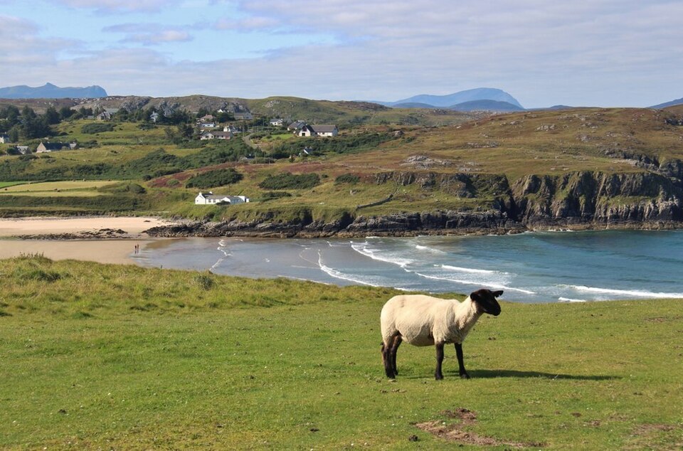
- Head along the north coast road ( a 838) mind a few sheep along the way.. and head for durness..
Good shelter, long beach break.. mad place.. be sure to visit the craft centre.. bizarre! good for protection from northly winds.
Tide times
- Sat 19:03High4.4 m
- Sun 01:47Low0.4 m
- Sun 06:39High4.4 m
- Sun 12:59Low0.8 m
- Sun 18:44High4.6 m
- Mon 01:22Low0.3 m
- Mon 07:16High4.5 m
- Mon 13:36Low0.6 m
Kyle Of Durness station, 2 km away. Heights above chart datum, UK time.
Photos
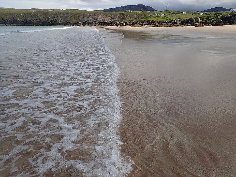
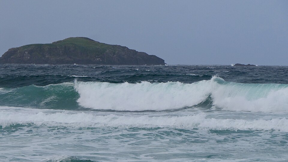
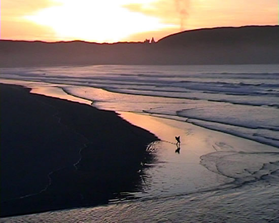
In the gallery

Alan Reid, CC BY-SA 2.0, via Wikimedia Commons. Alan Reid, CC BY-SA 2.0, via Wikimedia Commons.
Comments
Nothing said about Balnakiel Bay yet. Surfed it? Say what it's like.
Nearby
-
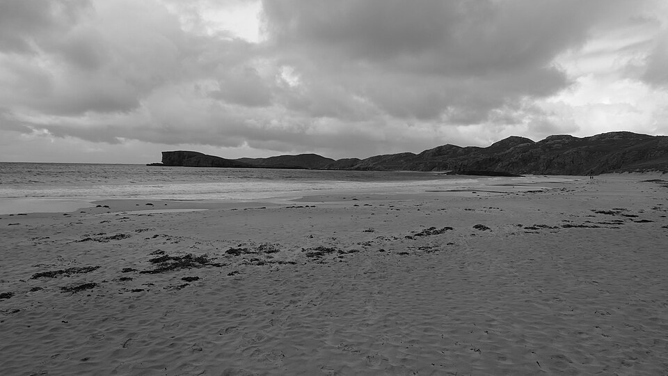
 Sango BayDurness · faces NE
-
 Sandwood BayThe Parph · faces NW
-
 OldshoremoreCape wrath · faces SW
-
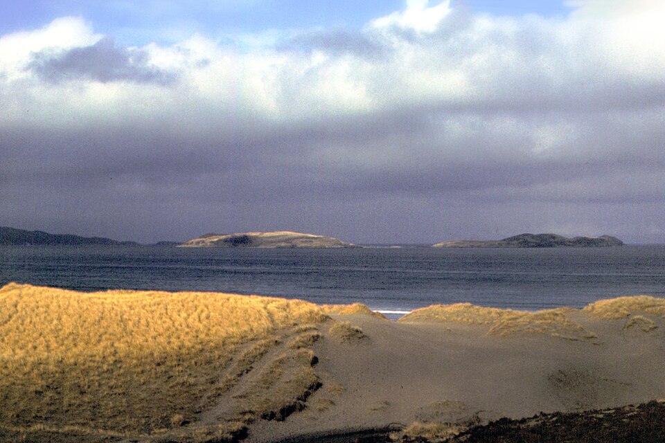 Kyle of Tonguethe Kyle of tounge · faces N
-
 TorresdaleBettyhill · faces N
-
 Farr BayBettyhill · faces N