
Bamburgh
★★★★★GoodBest of the week: Wednesday around 16:00, 4–6 ft and offshore.
Seven days
best session each day · swipe| Sat 14 | Sun 15 | Mon 16 | Tue 17 | Wed 18 | Thu 19 | |||||||||||||||||||||||||
|---|---|---|---|---|---|---|---|---|---|---|---|---|---|---|---|---|---|---|---|---|---|---|---|---|---|---|---|---|---|---|
| Time | 06 | 09 | 12 | 15 | 18 | 06 | 09 | 12 | 15 | 18 | 06 | 09 | 12 | 15 | 18 | 06 | 09 | 12 | 15 | 18 | 06 | 09 | 12 | 15 | 18 | 06 | 09 | 12 | 15 | 18 |
| Surf ft | 1–2 | 1–2 | 1–2 | 1–2 | 0–1 | 0–1 | 1–2 | 2–3 | 2–4 | 5–7 | 3–5 | 2–3 | 1–2 | 3–4 | 3–4 | 3–5 | 3–5 | 3–5 | 3–5 | 3–5 | 4–5 | 3–5 | 3–5 | 4–5 | 4–6 | 5–7 | 5–8 | 5–8 | 5–7 | 5–7 |
| Swell | 8s | 7s | 7s | 6s | 6s | 6s | 9s | 11s | 13s | 5s | 7s | 4s | 4s | 7s | 7s | 7s | 7s | 7s | 7s | 7s | 8s | 7s | 7s | 8s | 8s | 9s | 10s | 9s | 9s | 9s |
| Wind mph | 10 | 15 | 13 | 14 | 14 | 12 | 9 | 3 | 19 | 27 | 14 | 16 | 14 | 10 | 6 | 19 | 19 | 17 | 14 | 12 | 11 | 9 | 11 | 11 | 12 | 6 | 6 | 4 | 6 | 7 |
| Tide m | 4.2↓ | 2.2↓ | 1.7↑ | 3.5↑ | 4.3↓ | 4.0↑ | 2.7↓ | 1.7↑ | 3.0↑ | 4.2↑ | 3.7↑ | 3.2↓ | 1.8↓ | 2.6↑ | 3.9↑ | 3.3↑ | 3.6↓ | 2.2↓ | 2.2↑ | 3.5↑ | 2.8↑ | 3.7↑ | 2.8↓ | 2.0↑ | 3.0↑ | 2.2↑ | 3.6↑ | 3.4↓ | 2.0↓ | 2.4↑ |
| Rating | ★★★★★ | ★★★★★ | ★★★★★ | ★★★★★ | ★★★★★ | ★★★★★ | ★★★★★ | ★★★★★ | ★★★★★ | ★★★★★ | ★★★★★ | ★★★★★ | ★★★★★ | ★★★★★ | ★★★★★ | ★★★★★ | ★★★★★ | ★★★★★ | ★★★★★ | ★★★★★ | ★★★★★ | ★★★★★ | ★★★★★ | ★★★★★ | ★★★★★ | ★★★★★ | ★★★★★ | ★★★★★ | ★★★★★ | ★★★★★ |
Surf is the face height at the beach after the swell is filtered for the way Bamburgh faces. Arrows point to where the swell and wind come from: an arrow pointing up means from the north. Tide is the height at Holy Island above chart datum, rising ↑ or falling ↓; the rating drops when the tide is outside the window this break works on. Amber marks the sessions worth setting an alarm for. From Tuesday the swell comes from Météo-France's 10-day model, which is coarser than the 5 km German model used close in. Hours no model reaches are left blank, not shown as flat.
Exposure
Bamburgh faces north-east. Measured from the seabed, it is open to swell from N round to E; the brighter a wedge, the deeper the water in that direction and the more of the swell gets in. Anything from behind the headlands scores nothing, however big the buoy says it is.
- N
- 0.9 m at 8 s (swell) · 100 % reaches the beach
- SW
- 0.2 m at 2 s (wind sea) · blocked, 0 %
How Bamburgh works
- Swell
- Best from the north east.
- Wind
- Offshore is from the south west; anything with north-east in it is onshore and messes it up.
- Tide
- all tides.
- Getting there
- Drive up/ down the A1 heading for Alnwick. Follow signs for Seahouses. Bamburgh is north of seahouses. Head for bamburgh golf course and watch out for a car park. You will have a great view of the castle if youre in the right place.
Probably the most consistent wave in Northumberland. Situated just north of the Farne Isles Bamburgh works on Northerly and Easterly Swells, but due to the swell being predominantly northerly in these parts, works most of the time there is a swell. Farne Isles seem to work as some sort of channel for the northerly sometimes here, and as such it can sometimes be a foot or two bigger than, for example, tynemouth, which faces a bit more east. The Break itself is mostly a beach break, but at certain times there can seem to be a left hander breaking off the rocky headland at the north end of the beach. This rarely works well, so best just to paddle straight out from the Wynding car park and surf the usually pretty decent sand bar right there. Watch out for the interesting looking sand bar about a mile south past the castle (getting towards the Watchtower, also listed on here). There is a massive rip runs off the end of it which goes stright out to the farne isles..... not much fun to paddle against. So in summary- a good beach break which can have most kinds of wave depending on tide and wind. Not a very steep beach, so pretty consistent and works on all tides.
Tide times
- Sat 05:23High4.2 m
- Sat 10:51Low1.5 m
- Sat 17:23High4.4 m
- Sat 23:24Low1.3 m
- Sun 06:09High4.0 m
- Sun 11:31Low1.7 m
- Sun 18:09High4.2 m
- Mon 00:11Low1.5 m
Holy Island station, 6 km away. Heights above chart datum, UK time.
Photos
In the gallery

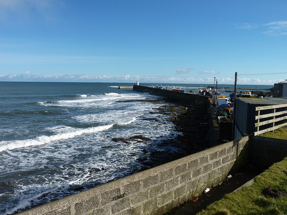
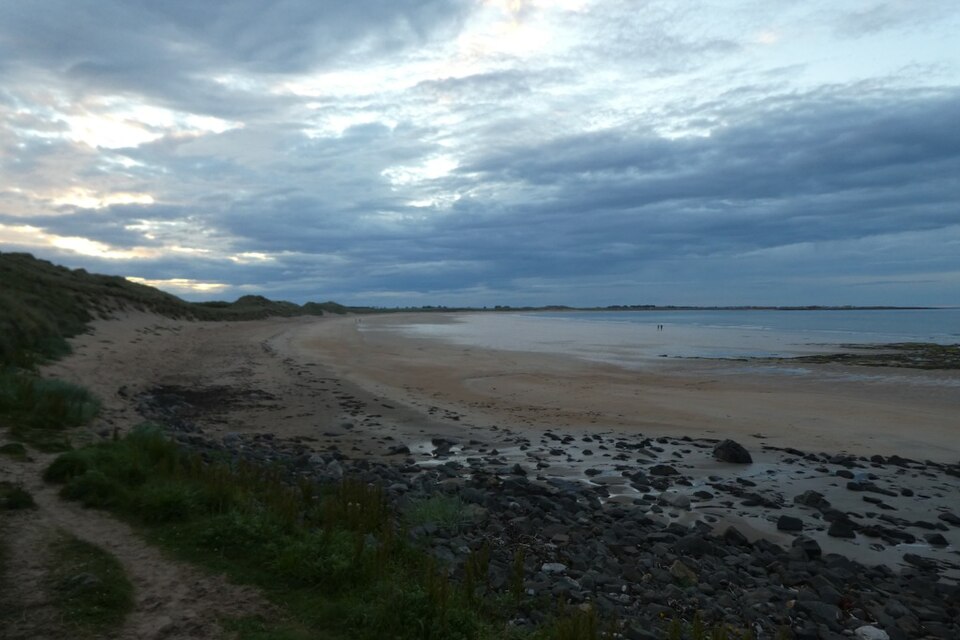
Richard Webb, CC BY-SA 2.0, via Wikimedia Commons. Richard Webb, CC BY-SA 2.0, via Wikimedia Commons.
Nearby
- The WatchtowerBamburgh · faces NE
-
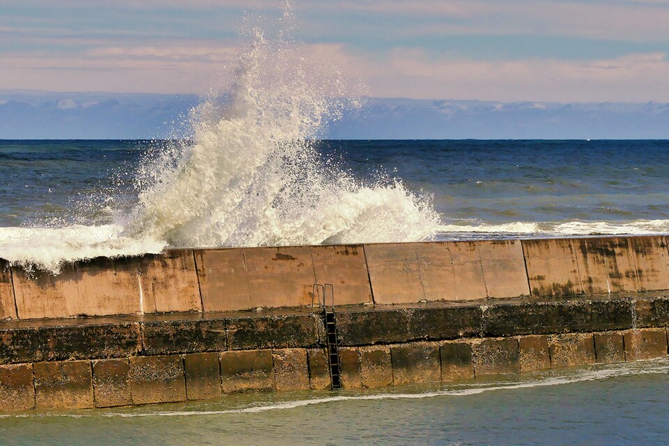
 The SeafieldSeahouses · faces NE
-
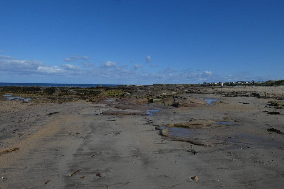
 The GantrySeahouses · faces NE
-
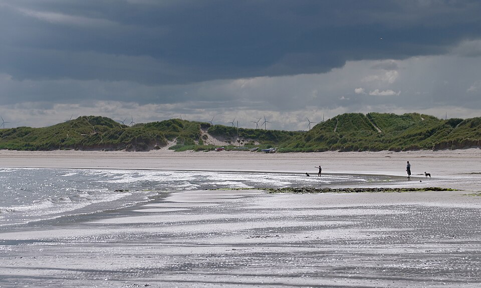
 FXBeadnell · faces NE
-
 Center BreaksBeadnell · faces E
-
 NewtzNewton by the sea · faces NE