
ShitPipe
★★★★★FairBest of the week: Monday around 11:00, 4–6 ft and offshore.
Seven days
best session each day · swipe| Sat 24 | Sun 25 | Mon 26 | Tue 27 | Wed 28 | Thu 29 | Fri 30 | |||||||||||||||||||||||||
|---|---|---|---|---|---|---|---|---|---|---|---|---|---|---|---|---|---|---|---|---|---|---|---|---|---|---|---|---|---|---|---|
| Time | 18 | 06 | 09 | 12 | 15 | 18 | 06 | 09 | 12 | 15 | 18 | 06 | 09 | 12 | 15 | 18 | 06 | 09 | 12 | 15 | 18 | 06 | 09 | 12 | 15 | 18 | 06 | 09 | 12 | 15 | 18 |
| Surf ft | 2–3 | 2–4 | 2–3 | 4–6 | 20–26 | 19–25 | 6–8 | 4–6 | 4–5 | 3–5 | 2–3 | 0–1 | 0 | 0 | 0–1 | 1–2 | 4–6 | 5–8 | 3–4 | 3–4 | 1–2 | 1–2 | 1–2 | 1–2 | 1–2 | 0–1 | 1–2 | 1–2 | 1–2 | 1–2 | 1–2 |
| Swell | 11s | 14s | 6s | 9s | 12s | 12s | 11s | 9s | 9s | 9s | 9s | 3s | 4s | 4s | 5s | 8s | 8s | 7s | 9s | 7s | 6s | 7s | 7s | 7s | 7s | 7s | 8s | 9s | 9s | 10s | 10s |
| Wind mph | 23 | 24 | 23 | 37 | 40 | 39 | 14 | 10 | 11 | 11 | 23 | 19 | 31 | 29 | 32 | 26 | 16 | 14 | 12 | 17 | 11 | 10 | 8 | 15 | 13 | 16 | 14 | 11 | 7 | 6 | 5 |
| Tide m | 3.5↑ | 3.9↑ | 4.2↓ | 1.9↓ | 1.4↑ | 3.9↑ | 3.4↑ | 4.6↓ | 2.3↓ | 0.9↑ | 3.4↑ | 2.8↑ | 4.8↓ | 2.9↓ | 0.8↓ | 2.6↑ | 2.1↑ | 4.7↑ | 3.6↓ | 1.0↓ | 1.8↑ | 1.6↑ | 4.2↑ | 4.1↓ | 1.5↓ | 1.3↑ | – | – | – | – | – |
| Rating | ★★★★★ | ★★★★★ | ★★★★★ | ★★★★★ | ★★★★★ | ★★★★★ | ★★★★★ | ★★★★★ | ★★★★★ | ★★★★★ | ★★★★★ | ★★★★★ | ★★★★★ | ★★★★★ | ★★★★★ | ★★★★★ | ★★★★★ | ★★★★★ | ★★★★★ | ★★★★★ | ★★★★★ | ★★★★★ | ★★★★★ | ★★★★★ | ★★★★★ | ★★★★★ | ★★★★★ | ★★★★★ | ★★★★★ | ★★★★★ | ★★★★★ |
Surf is the face height at the beach after the swell is filtered for the way ShitPipe faces. Arrows point to where the swell and wind come from: an arrow pointing up means from the north. Tide is the height at Scrabster above chart datum, rising ↑ or falling ↓; the rating drops when the tide is outside the window this break works on. Amber marks the sessions worth setting an alarm for. From Tuesday the swell comes from Météo-France's 10-day model, which is coarser than the 5 km German model used close in. Hours no model reaches are left blank, not shown as flat.
Exposure
ShitPipe faces north. Measured from the seabed, it is open to swell from NW round to NE; the brighter a wedge, the deeper the water in that direction and the more of the swell gets in. Anything from behind the headlands scores nothing, however big the buoy says it is.
- NW
- 1.3 m at 11 s (swell) · 55 % reaches the beach
- SE
- 1.2 m at 3 s (wind sea) · blocked, 0 %
How ShitPipe works
- Swell
- Best from the north west.
- Wind
- Offshore is from the west; anything with north in it is onshore and messes it up.
- Tide
- mid tide.
- Getting there
- go to thurso go straight passed the bridge and turn right follow the road untill you come to a pier, shitpipe is at the end.
A break that goes left and right at the end of a pier. Breaks almost any swell direction and is off shore on almost all winds apart from south winds.
Tide times
- Sat 20:17High4.6 m
- Sun 01:35Low0.8 m
- Sun 07:45High4.6 m
- Sun 13:56Low1.1 m
- Sun 19:54High4.8 m
- Mon 02:12Low0.6 m
- Mon 08:21High4.7 m
- Mon 14:34Low0.9 m
Scrabster station, 3 km away. Heights above chart datum, UK time.
Photos
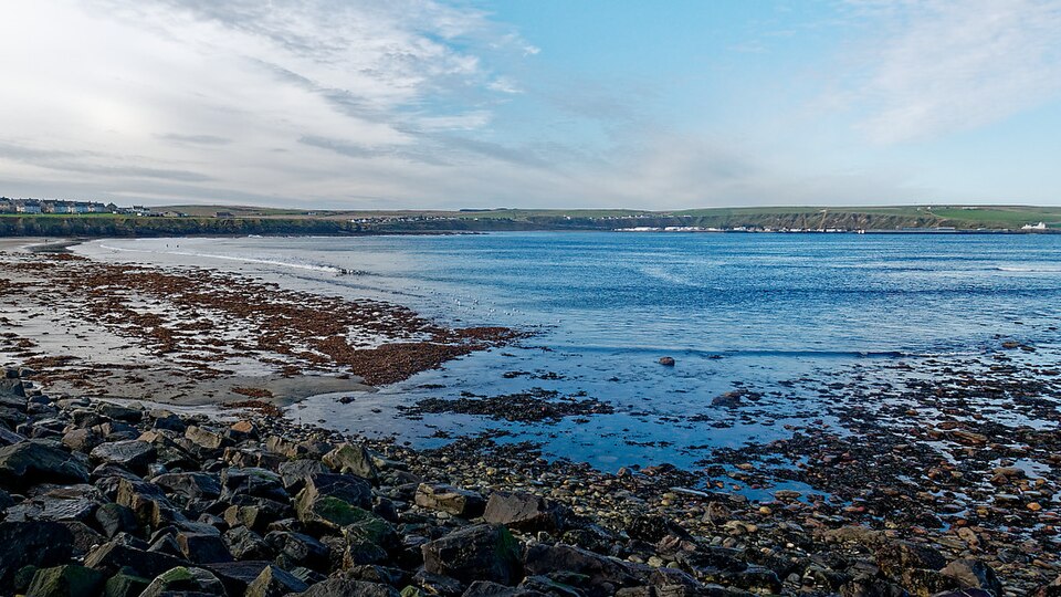
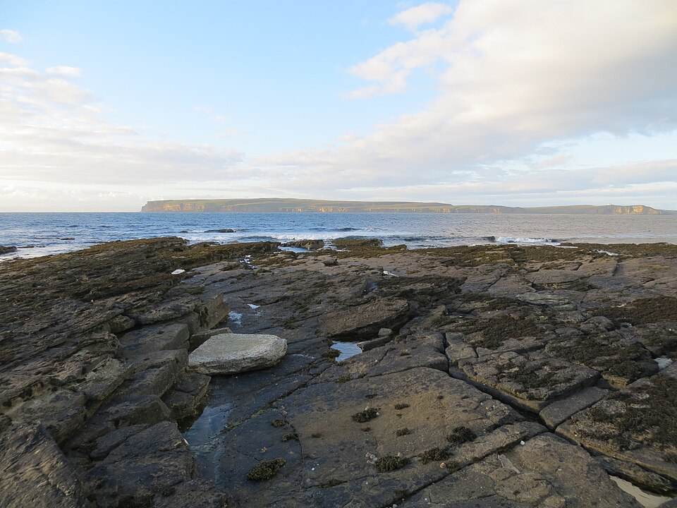
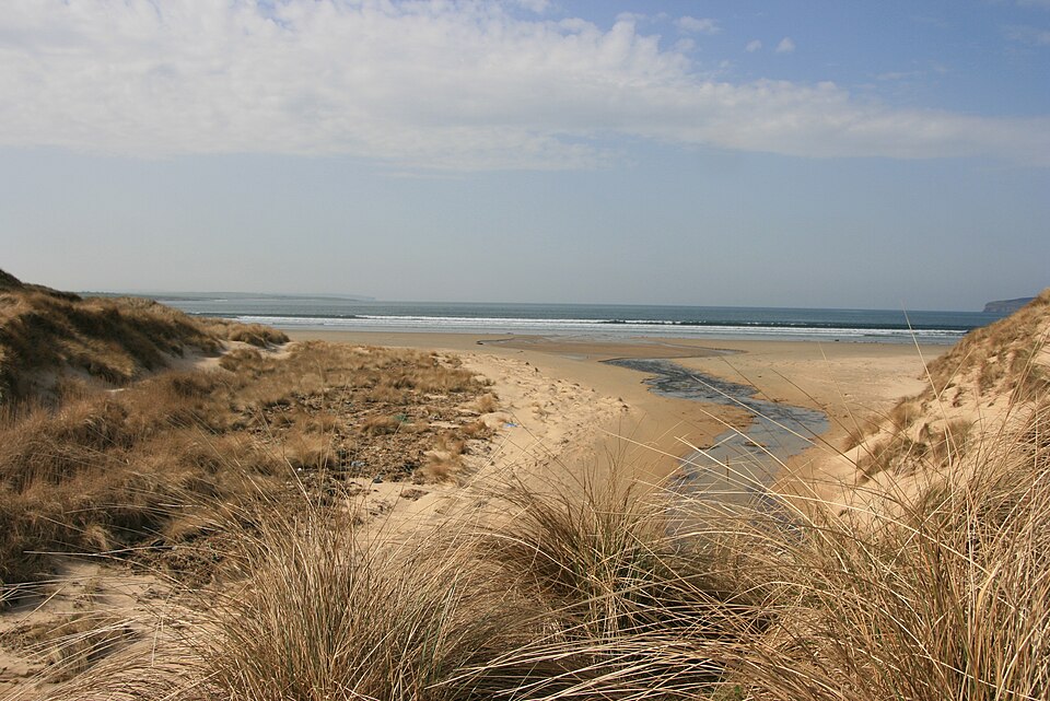
In the gallery

Julian Paren, CC BY-SA 2.0, via Wikimedia Commons. Robert Eva, CC BY-SA 2.0, via Wikimedia Commons.
Nearby
-
 Sewer PipeThurso · faces N
-
 Thurso EastThurso · faces N
-
 MurkleMurkle Bay · faces N
- Murkle PointThurso · faces NW
-
 Brims NessBrims Ness · faces N
-
 Dunnet BayDunnet · faces NW