
Roker Pier
★★★★★GoodBest of the week: Monday around 06:00, 4–6 ft and offshore.
Live webcam
WindyOpen on Windy Sunderland · 1.1 km from the break, Sunderland. Opens in a new tab.
Player and camera network by Windy.com.
Seven days
best session each day · swipe| Sat 14 | Sun 15 | Mon 16 | Tue 17 | Wed 18 | Thu 19 | |||||||||||||||||||||||||
|---|---|---|---|---|---|---|---|---|---|---|---|---|---|---|---|---|---|---|---|---|---|---|---|---|---|---|---|---|---|---|
| Time | 06 | 09 | 12 | 15 | 18 | 06 | 09 | 12 | 15 | 18 | 06 | 09 | 12 | 15 | 18 | 06 | 09 | 12 | 15 | 18 | 06 | 09 | 12 | 15 | 18 | 06 | 09 | 12 | 15 | 18 |
| Surf ft | 2–3 | 1–2 | 1–2 | 1–2 | 1–2 | 1–2 | 1–2 | 1–2 | 2–3 | 2–3 | 4–6 | 3–5 | 2–4 | 2–4 | 3–4 | 3–4 | 3–4 | 2–3 | 2–3 | 2–3 | 2–4 | 2–4 | 2–4 | 2–4 | 3–4 | 3–5 | 4–5 | 4–5 | 4–6 | 4–6 |
| Swell | 9s | 8s | 3s | 3s | 3s | 3s | 3s | 10s | 13s | 14s | 8s | 8s | 8s | 8s | 8s | 8s | 8s | 6s | 5s | 5s | 6s | 6s | 6s | 6s | 9s | 10s | 10s | 10s | 10s | 9s |
| Wind mph | 9 | 10 | 11 | 12 | 14 | 7 | 9 | 8 | 5 | 12 | 15 | 15 | 15 | 10 | 1 | 17 | 15 | 13 | 14 | 16 | 15 | 14 | 13 | 12 | 11 | 7 | 5 | 10 | 11 | 11 |
| Tide m | 4.6↓ | 3.1↓ | 1.8↑ | 3.3↑ | 4.7↑ | 4.3↑ | 3.6↓ | 2.1↓ | 2.9↑ | 4.4↑ | 3.9↑ | 3.9↓ | 2.6↓ | 2.6↑ | 4.0↑ | 3.4↑ | 4.1↓ | 3.1↓ | 2.5↑ | 3.5↑ | 2.8↑ | 4.0↑ | 3.6↓ | 2.6↓ | 3.0↑ | 2.2↑ | 3.7↑ | 4.0↓ | 2.8↓ | 2.5↑ |
| Rating | ★★★★★ | ★★★★★ | ★★★★★ | ★★★★★ | ★★★★★ | ★★★★★ | ★★★★★ | ★★★★★ | ★★★★★ | ★★★★★ | ★★★★★ | ★★★★★ | ★★★★★ | ★★★★★ | ★★★★★ | ★★★★★ | ★★★★★ | ★★★★★ | ★★★★★ | ★★★★★ | ★★★★★ | ★★★★★ | ★★★★★ | ★★★★★ | ★★★★★ | ★★★★★ | ★★★★★ | ★★★★★ | ★★★★★ | ★★★★★ |
Surf is the face height at the beach after the swell is filtered for the way Roker Pier faces. Arrows point to where the swell and wind come from: an arrow pointing up means from the north. Tide is the height at Sunderland above chart datum, rising ↑ or falling ↓; the rating drops when the tide is outside the window this break works on. Amber marks the sessions worth setting an alarm for. From Tuesday the swell comes from Météo-France's 10-day model, which is coarser than the 5 km German model used close in. Hours no model reaches are left blank, not shown as flat.
Exposure
Roker Pier faces east. Measured from the seabed, it is open to swell from N round to S; the brighter a wedge, the deeper the water in that direction and the more of the swell gets in. Anything from behind the headlands scores nothing, however big the buoy says it is.
- N
- 1.1 m at 9 s (swell) · 100 % reaches the beach
- SW
- 0.2 m at 2 s (wind sea) · 1 % reaches the beach
How Roker Pier works
- Swell
- Best from the north.
- Wind
- Offshore is from the west; anything with east in it is onshore and messes it up.
- Tide
- mid to high tide.
- Getting there
- Again, follow the coast road in Sunderland going north. Past the marina on your right, Roker is the second pier.
A decent right is formed from swell building up against the pier. Jump in the water from the pier for a good laugh. Southerly cross-shore winds are blocked by the pier and can still result in a clean wave.
Tide times
- Fri 23:46Low1.5 m
- Sat 05:59High4.6 m
- Sat 11:53Low1.8 m
- Sat 18:03High4.7 m
- Sun 00:25Low1.7 m
- Sun 06:44High4.4 m
- Sun 12:34Low2.1 m
- Sun 18:49High4.5 m
Sunderland station, under 1 km away. Heights above chart datum, UK time.
Photos
In the gallery

DS Pugh, CC BY-SA 2.0, via Wikimedia Commons. DS Pugh, CC BY-SA 2.0, via Wikimedia Commons.
Comments
Nearby
-
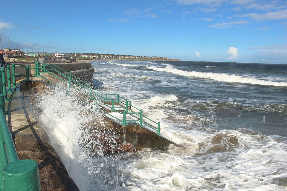 SeaburnSunderland · faces E
-
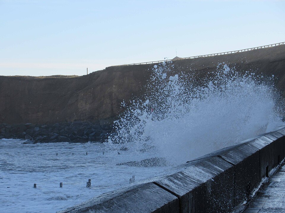 daresseaham · faces E
-
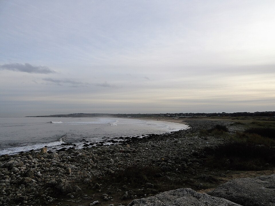 South ShieldsSouth Shields · faces E
-
 Black MiddensTynemouth · faces E
-
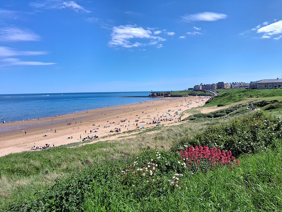 LongsandsTynemouth · faces E
-
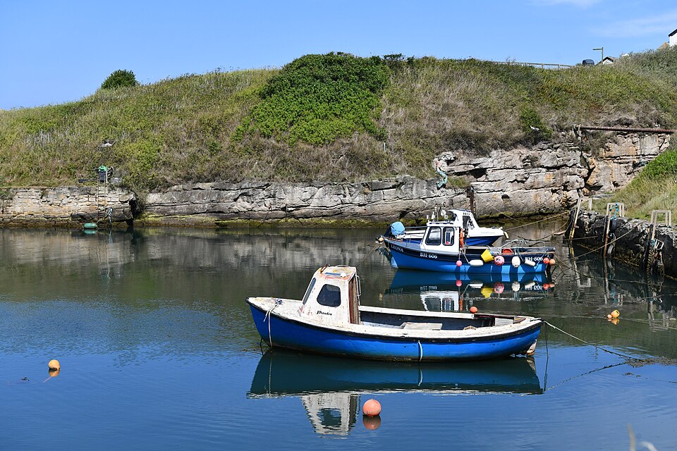 Seaton SluiceSeaton Sluice · faces E